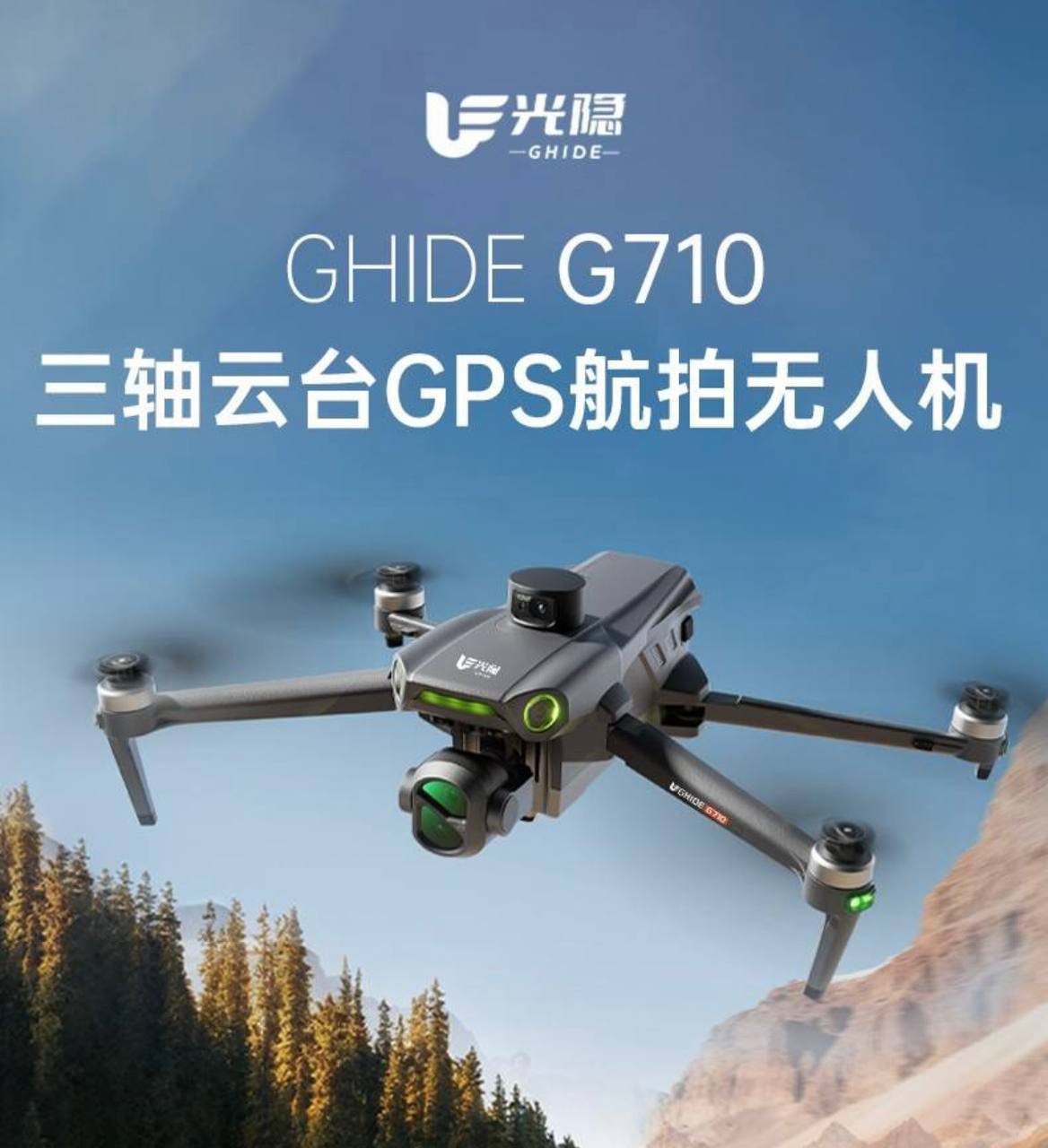
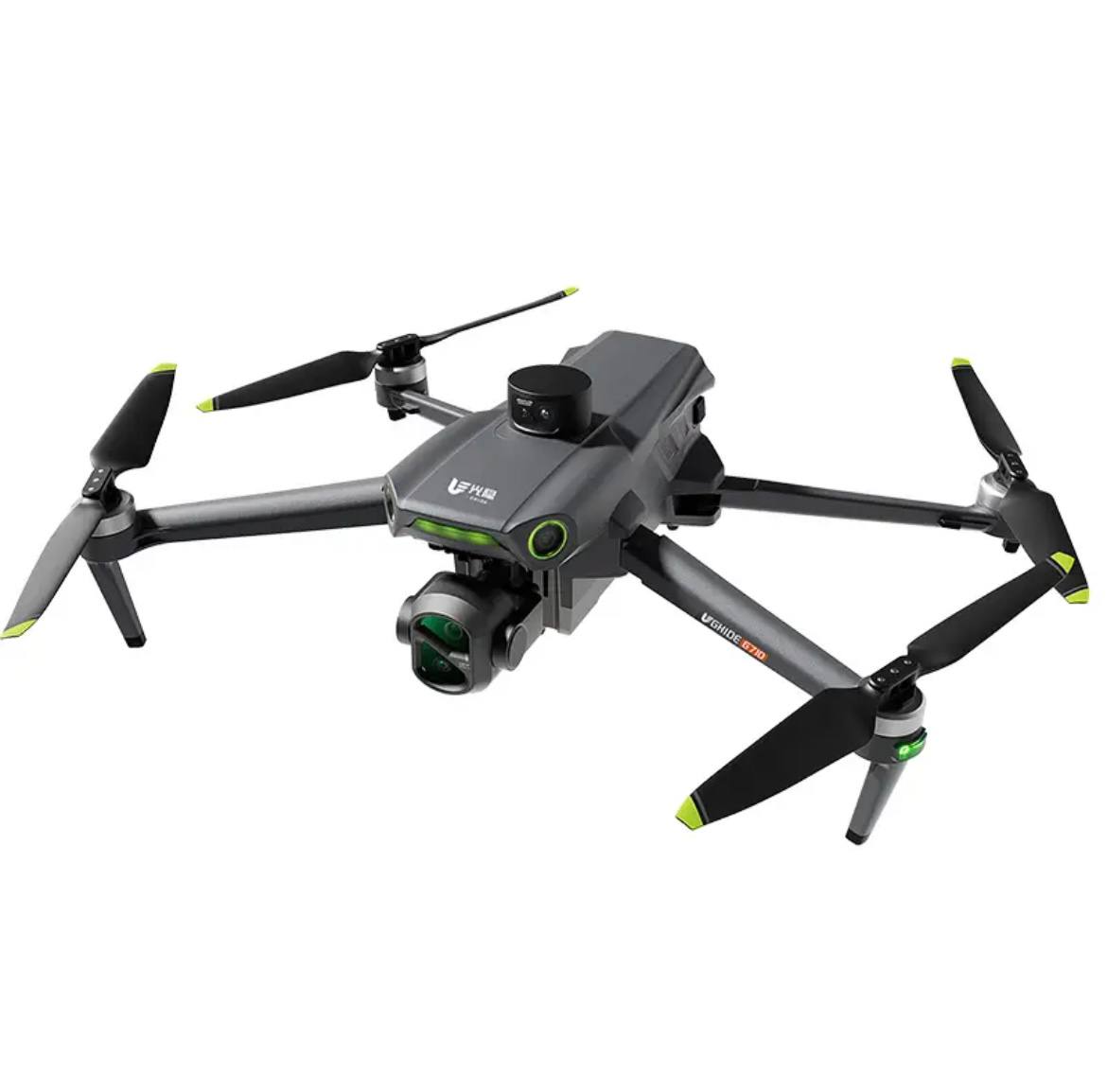
Dimensions (Length, Width, Height)
Expanded Dimensions: 61×51×8.5cm
Folded Dimensions: 22×14×8.5cm
Aircraft Performance Parameters
Maximum Flight Speed: Ascent 5 m/s, Descent 4 m/s, Horizontal 12 m/s
Maximum Wind Resistance: 10 m/s (Force 6-7 wind)
Satellite Positioning System: GPS
Operating Ambient Temperature: 0°C~40°C
Hovering Accuracy (Vertical): ±0.1 m (with normal visual positioning) ±0.5 m (with normal positioning)
Hovering Accuracy (Horizontal): ±0.3 m (with normal visual positioning) ±1.5 m (with normal GNSS positioning)
External Payload: Supports airdropped devices
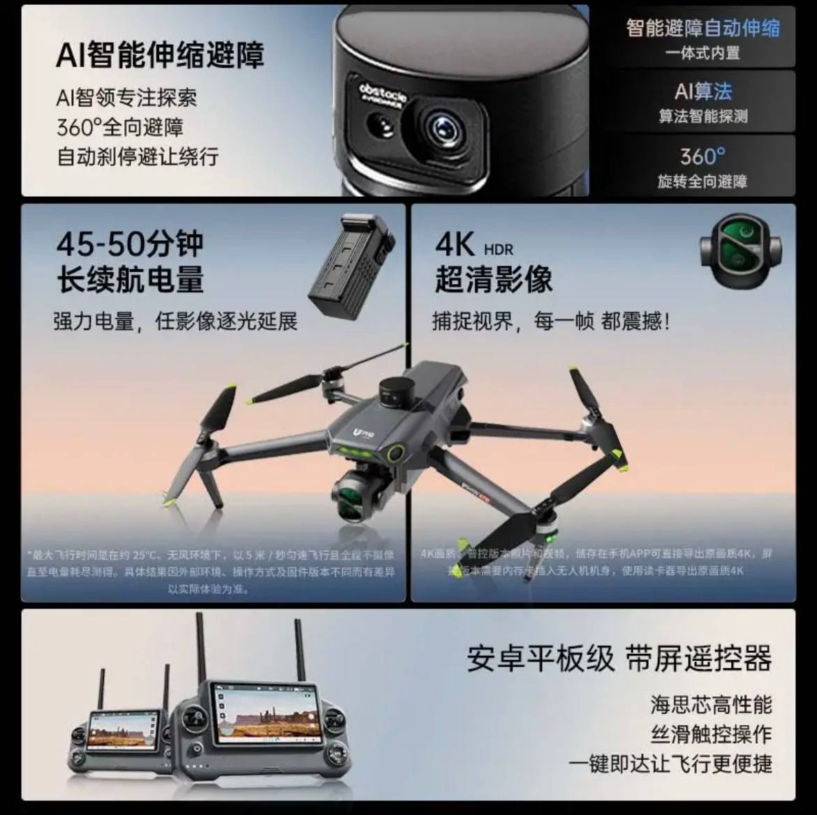
Maximum Hovering Time: 42 minutes
*Maximum hovering time was measured at an ambient temperature of approximately 25°C, a hovering height of 1.5 meters in a laboratory environment, switched to 1080p 24fps video recording mode (without any video recording operation), and hovering until 0% battery remaining. Specific results may vary depending on external environment, operating method, and country of origin version. Please refer to actual experience.
Maximum battery life: 45 minutes
*Maximum flight time was measured at an ambient temperature of approximately 25°C, in a windless environment, flying forward at a constant speed of 5 meters per second, with no camera recording throughout, until the battery level reached 0%. Specific results may vary depending on external environment, operating method, and firmware version.
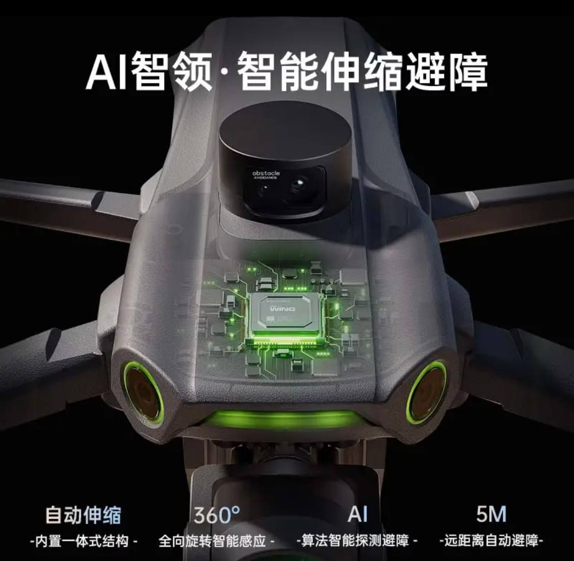
Obstacle Avoidance
Maximum Video Quality
Speed
Screen Control Controller Size
Takeoff Altitude
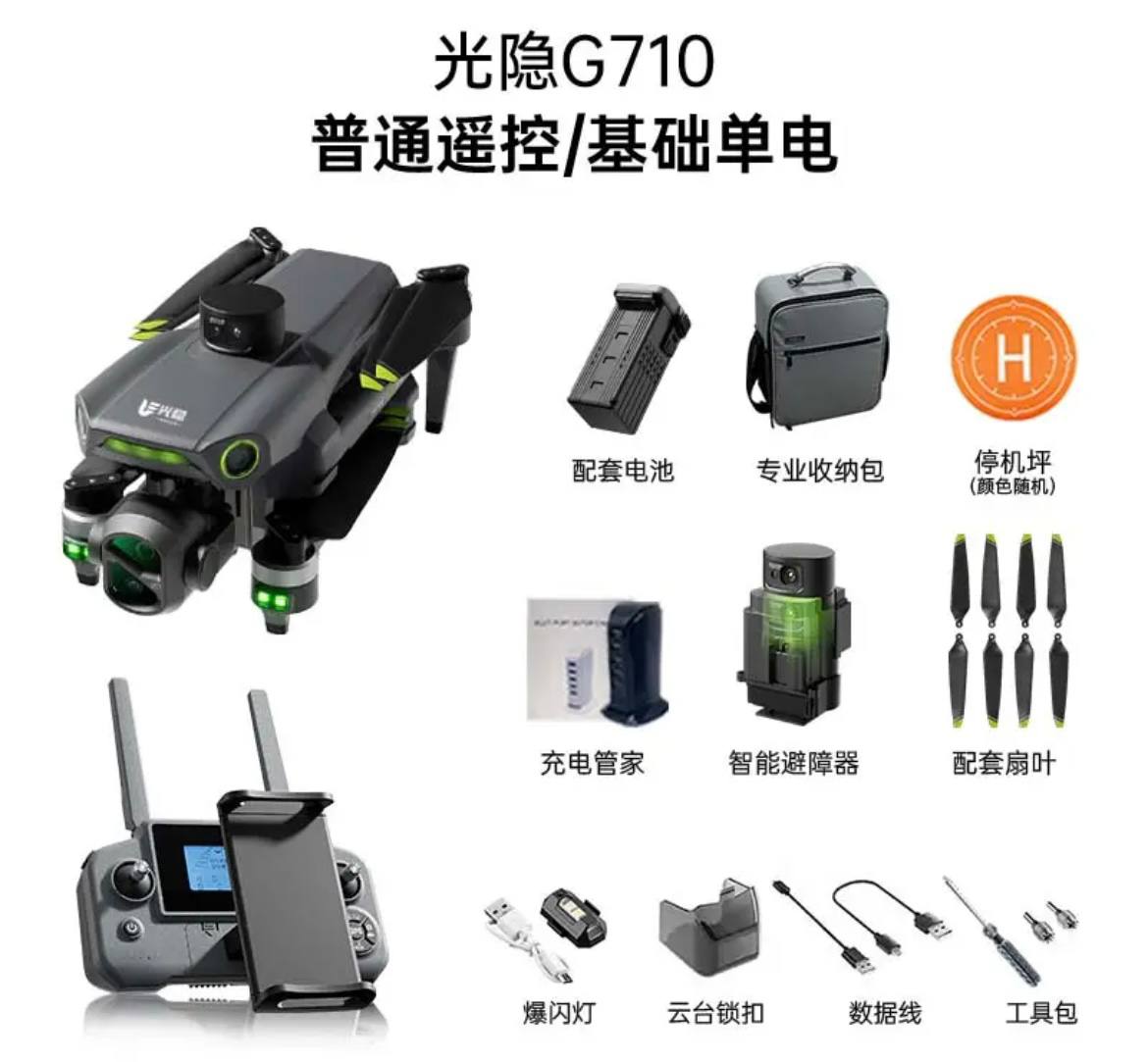
Battery Capacity
Charging Method
Charging Ambient Temperature
Night Mode
Intelligent Tracking
Anti-shake Gimbal
Heat Dissipation
Memory
Control Method
360° Intelligent Obstacle Avoidance
4K/30FPS (TF) 720*1280 (APP)
*4K Quality: Photos and videos from the standard control version can be directly exported in original 4K quality from the mobile APP. The screen control version requires a memory card inserted into the drone body; use a card reader to export the original 4K quality.
50KM/h (14m/s)
The above data is based on an outdoor, open, interference-free environment with a flight speed of 40KM/H. The farthest flight distance was measured in normal mode with the remote controller antenna pointing towards the aircraft. Actual flight distances may vary depending on the specific conditions.
1/5.5-inch screen
Up to 800M
*Above 120 meters requires registration; please comply with relevant laws and regulations.
4900mAh
USB-C charging (maximum 5V/3A)
0°C~40°C
Supported
Supported
Supported
Heat dissipation vent
/Screen control/Standard control
*Note: The above values are experimental data measured by our company according to testing standards. Actual results may vary depending on local geographical conditions and usage.
Image transmission, WiFi, Bluetooth
Image transmission operating frequency
Video recording resolution
Photo capture resolution
Image transmission latency
Maximum image transmission bitrate
Maximum image transmission distance
2.4835GHz~2.400
4K/30FPS (TF#)
720*1280 (APP)
4K (TFF)
720*1280 (APP)
120ms
*This data is laboratory data; actual results may vary depending on actual usage scenarios and mobile devices.
6Mbps
“The maximum average bitrate for image transmission is 5 Mbps, with a peak of up to 6 Mbps. Actual results may vary depending on environmental factors such as interference and distance.
12KM
The above data represents the furthest communication distance measured in an open, interference-free outdoor environment, at a flight altitude of 120m, in normal mode, with the remote controller antenna pointing towards the aircraft, on a one-way trip without returning to home. During actual flight, please pay attention to the remote controller’s prompts.
2.4 GHz: <17 dBm (FCC/CE/SRRC)
5 GHz: <13 dBm (FCC/CE/SRRC)
<8 dBm
WiFi Operating Frequency and Transmit Power (EIRP)
Bluetooth Transmit Power (EIRP)
Look-down Perception
Precise Hovering Altitude Range
0.3m~5m
*Usage environment for this altitude range: Sufficient lighting, ground surface with diffuse reflection."


Reviews
There are no reviews yet.